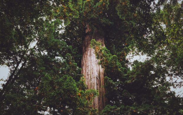
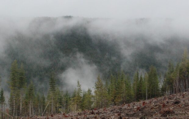
New satellite technology coupled with ambitious new initiatives to broaden access is finally opening the door to forest monitoring systems that are powerful enough to help tackle deforestation.
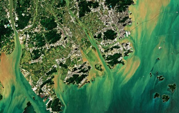
For years, Landsat images have been the main tools available for monitoring, but the resolution is so low (30 metres) and the revisit rates so infrequent that the trees and illegal loggers would be long gone before anything showed up in the data.
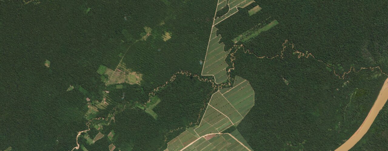
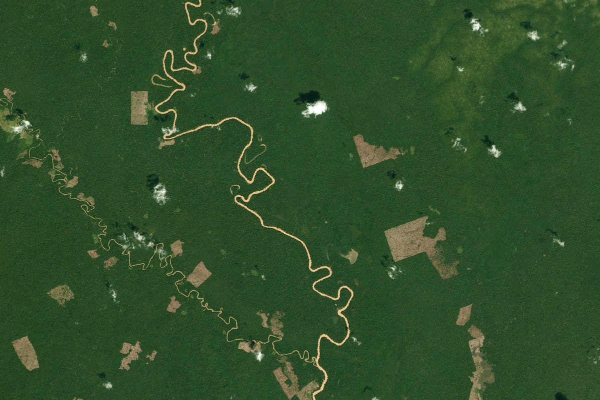
Now, new tech from providers such as Planet is making high resolution satellite imagery (3.5m resolution) far more accessible. “For the first time, the data really reflects the pace and the scale that deforestation happens on the ground so it becomes much more actionable,” explains Tara O’Shea, director of forest programs at Planet.
So what
Several initiatives have been set up to offer wide access to this data. For example a recent Planet partnership with the UN’s Food and Agriculture Organisation (FAO) gave free access to eight tropical countries, with the result that the DRC Congo was able to set up a National Forest Monitoring System for the first time, with sufficient credible data to receive performance-based payments under the terms of the Paris agreement.
Building on this success, a new partnership with Norway’s International Climate and Forest Initiative (NICFI) will broaden free access to nearly 100 countries hosting some of the world’s most ecologically important and most threatened forests. Countries such as Laos and Cambodia are already starting to use it with the FAO to create a Near Real-Time (NRT) monitoring system in the Lower Mekong Region. The aim is to create a system that can differentiate between timber that has been logged sustainably, compared to wood that is being extracted illegally.
Universities are also using this data to create much better systems for monitoring forest carbon stocks. For example work in Peru by the Arizona State University (ASU) indicates that the integration of machine learning could eventually provide the ability to directly measure the amount of biomass or stored carbon in an area of forest just from analysing satellite imagery. This would be a practical and affordable way to get the data required to enable credible and effective forest carbon trading in the long term.


Join discussion