
How satellite imagery is helping precision agriculture grow to new heights

by Joy Green, Apr 23
1 minute read

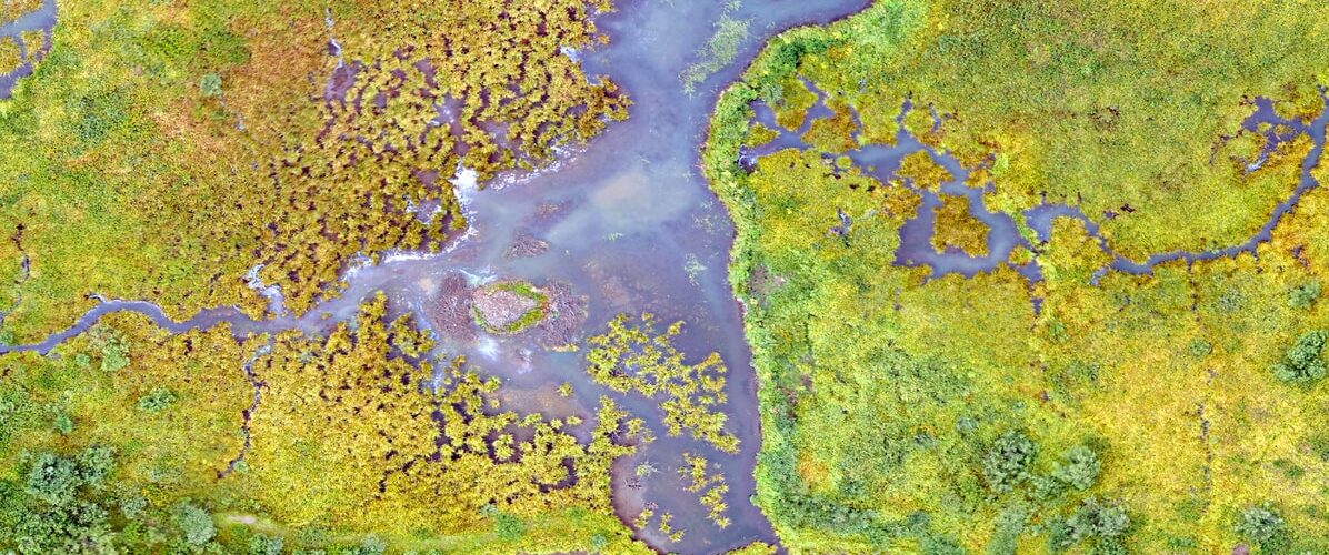
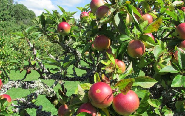
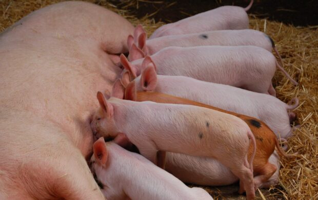
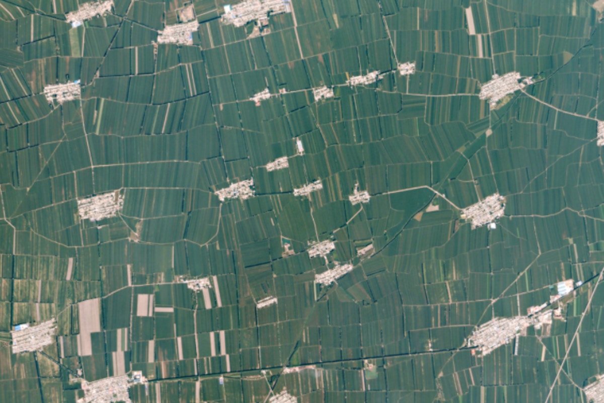
From Australian dairy farms to Indian crop insurers, the integration of geospatial data into a host of innovative solutions is helping global agriculture work smarter and more sustainably.

aerial photography of calm body of water

Sources

Details

by Joy Green Spotted 37 signals

Joy is a Principal Futurist at Forum for the Future.

Have you spotted a signal of change?

Register to receive the latest from the Futures Centre.
Sign up

  • 0
  • Share

Join discussion

Related signals

Our use of cookies

We use necessary cookies to make our site work. We'd also like to set optional analytics cookies to help us improve it. We won't set optional cookies unless you enable them. Using this tool will set a cookie on your device to remember your preferences.

For more detailed information about the cookies we use, see our Cookies page.

Necessary cookies

Necessary cookies enable core functionality such as security, network management, and accessibility. You may disable these by changing your browser settings, but this may affect how the website functions.

Analytics cookies

We'd like to set Google Analytics cookies to help us to improve our website by collecting and reporting information on how you use it. The cookies collect information in a way that does not directly identify anyone. For more information on how these cookies work, please see our 'Cookies page'.

>